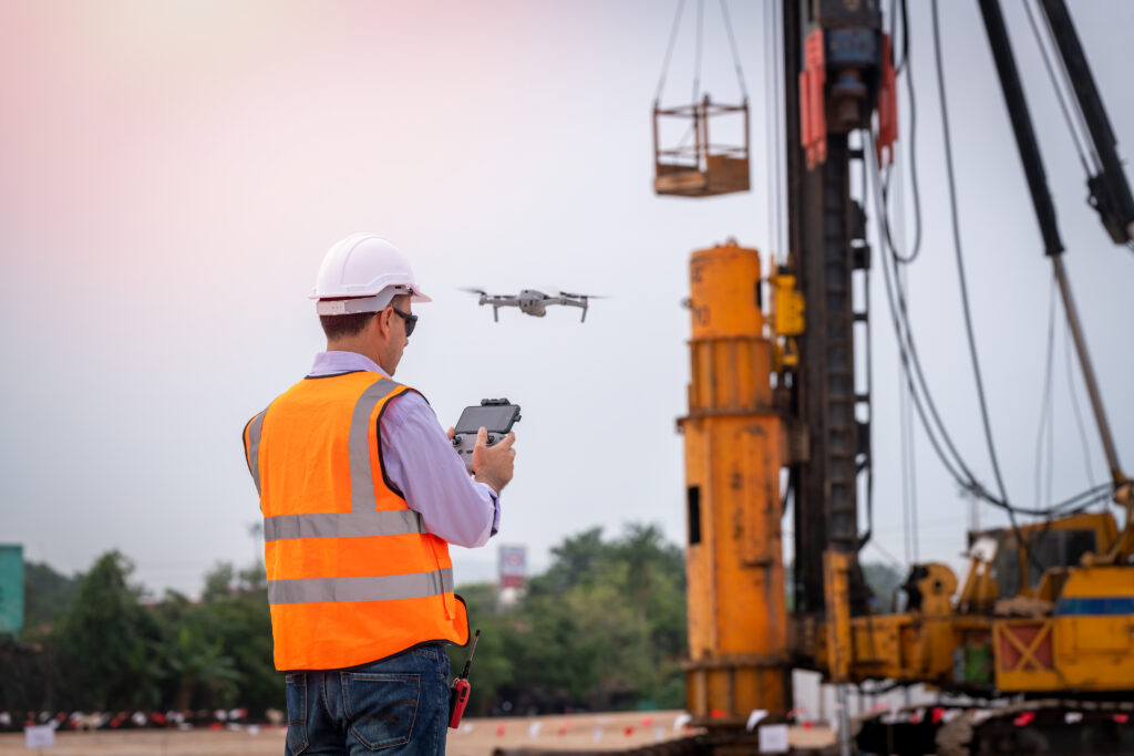
2D/3D Mapping
We take aerial photos and convert them to images of land masses into maps, 3D models, or drawings.
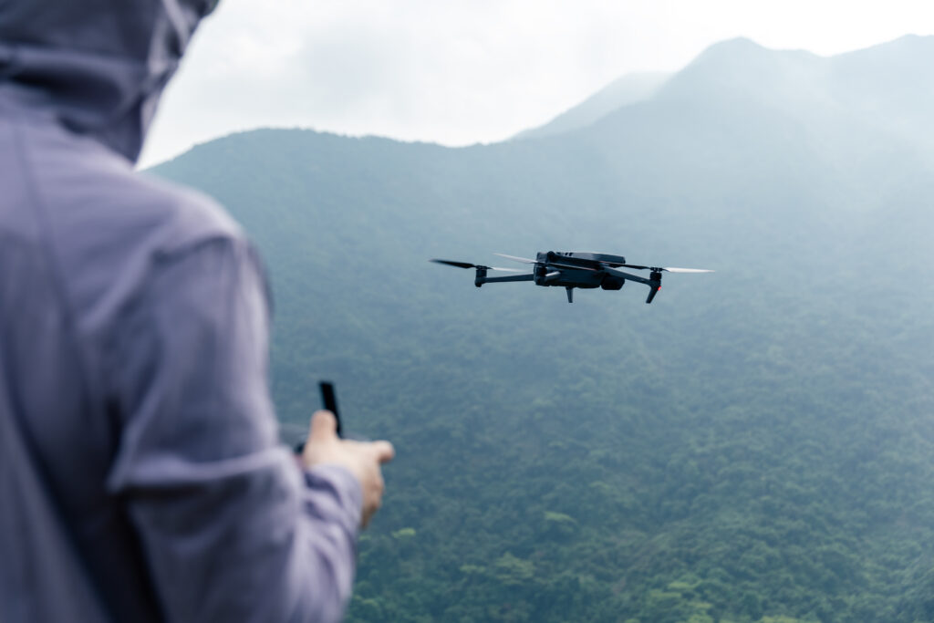
Aerial Photography
Our photographers fly premium quality drones and will capture images of your subject from virtually any angle.
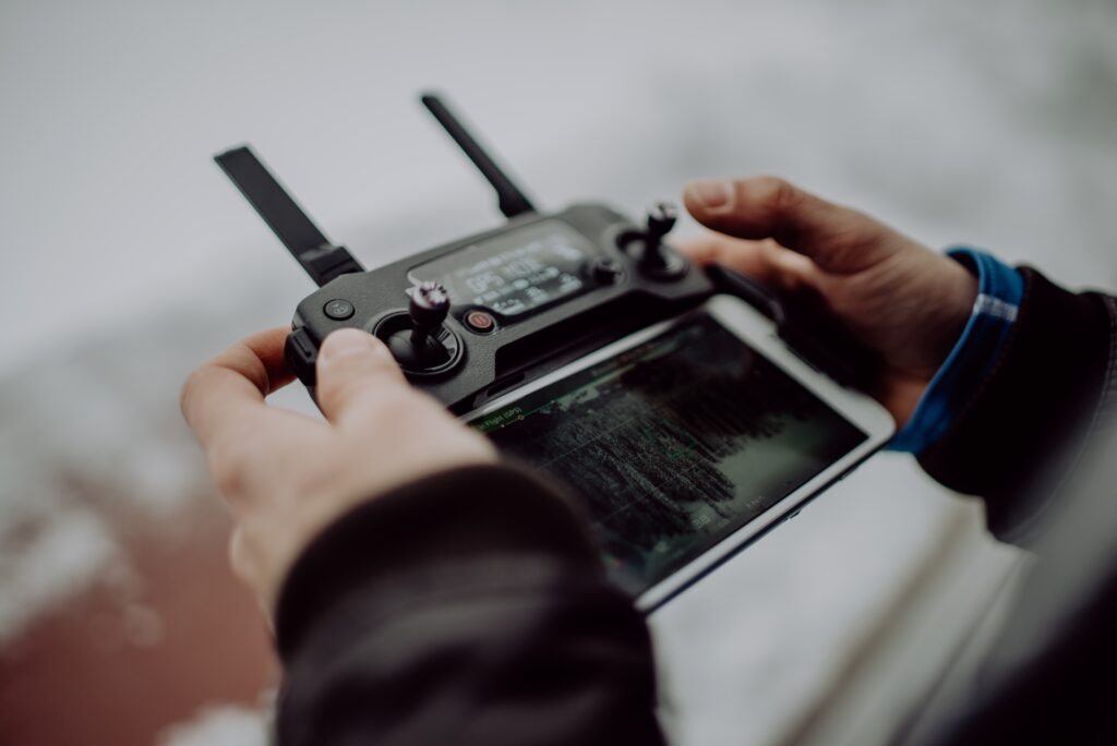
Aerial Videography
Captured videos in 4K UHD to promote your properties, products, or services, residential and commercial.
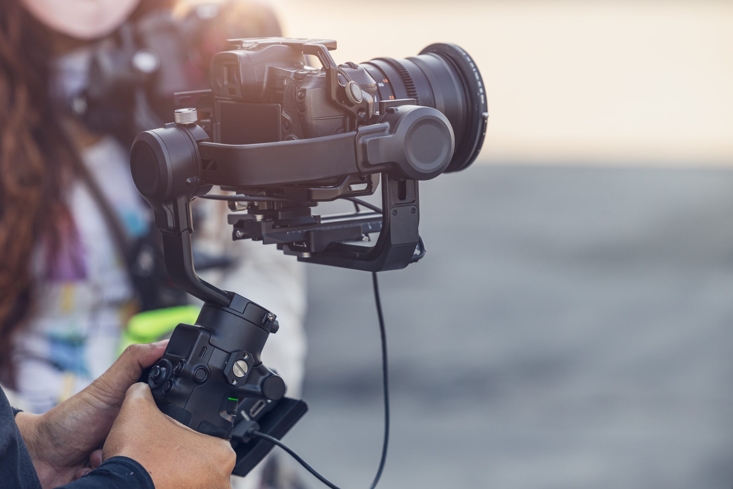
Video Production
From start to finish, we plan, script, capture, and edit your project to deliver your expectations.